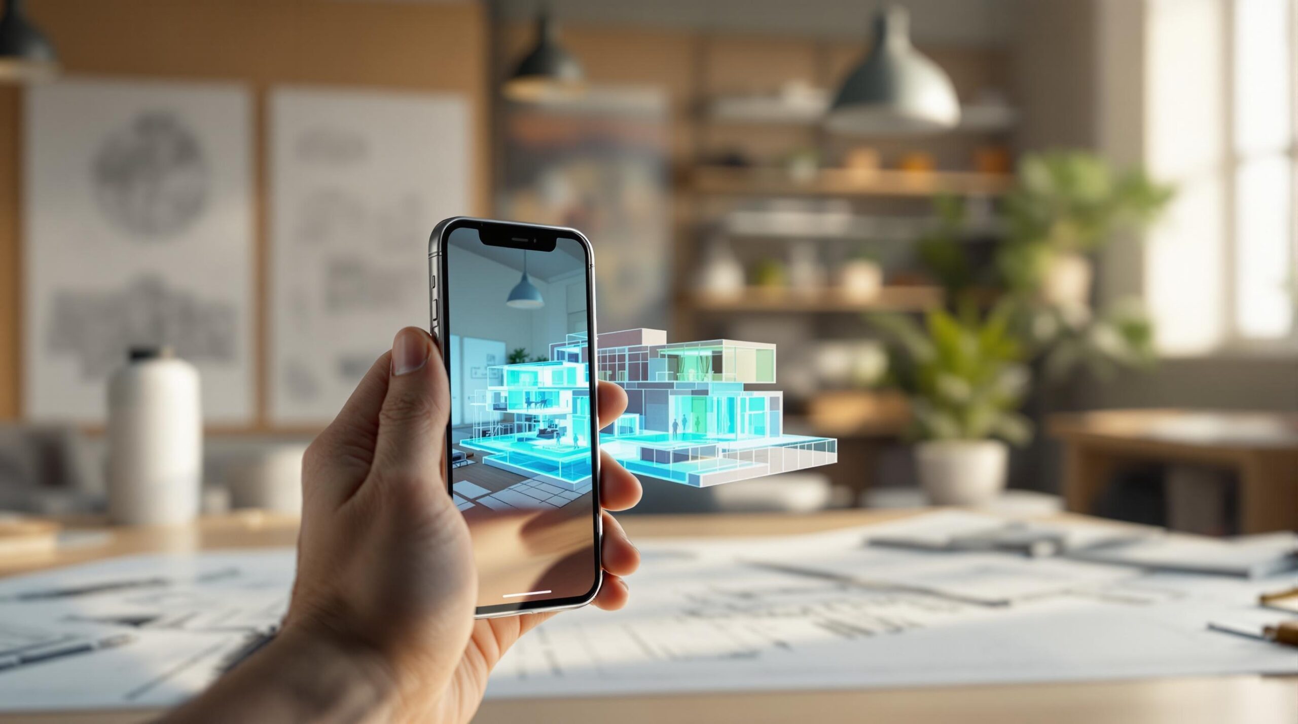
iPhone LIDAR transforms your device into a portable 3D scanner, offering impressive precision for professionals and enthusiasts. Here’s what you need to know:
- Accuracy: ±3 cm horizontally, ±7 mm vertically, suitable for architecture, healthcare, and AR applications.
- Cost: Affordable tools like Polycam start at $150/year, making advanced scanning more accessible.
- Portability: Compact and easy to use compared to bulky traditional scanners.
- Applications: From creating 3D models for design to AR-powered virtual tours, LIDAR is reshaping industries.
- Challenges: Issues like drift and movement errors can be mitigated with software like Manifold.
Quick Comparison: iPhone LIDAR vs. Traditional Scanners
| Feature | iPhone LIDAR | Traditional Scanners |
|---|---|---|
| Accuracy | ±3 cm / ±7 mm | Sub-millimeter |
| Portability | Pocket-sized | Bulky, requires setup |
| Ease of Use | User-friendly | Requires expertise |
| Cost | $150/year (apps) | Expensive equipment |
iPhone LIDAR balances precision, affordability, and ease of use, making it a practical choice for many industries.
Accuracy test of 4 Apple LiDAR 3D scanning apps
Technical Features of iPhone LIDAR
Accuracy and Performance of LIDAR Sensors
The iPhone LIDAR sensor offers precise scanning capabilities for handheld devices. Tests using tools like Modelar show accuracy levels of ±3 cm horizontally and ±7 mm vertically [1]. This level of precision makes it a practical tool for fields like engineering, design, and architectural visualization.
With the help of machine learning, the iPhone LIDAR processes spatial data in real time, enabling detailed depth mapping and 3D modeling. Software like Manifold further boosts this functionality by streamlining scanning workflows, delivering measurements accurate to within half an inch [3].
But how does the iPhone LIDAR stack up against more traditional scanning technologies?
Comparing LIDAR to Other Scanning Methods
Here’s a quick look at how iPhone LIDAR compares to Terrestrial Laser Scanners (TLS):
| Feature | iPhone LIDAR | Traditional TLS |
|---|---|---|
| Accuracy | Professional-grade | Sub-millimeter precision |
| Portability | Pocket-sized | Bulky, requires setup |
| Ease of Use | User-friendly | Requires expertise |
| Processing | Real-time | Requires post-processing |
While TLS systems excel in absolute precision, the iPhone LIDAR strikes a balance between accuracy and convenience, making it a solid choice for many professional scenarios [3].
Portability and Affordability of iPhone LIDAR
The iPhone LIDAR stands out for its combination of portability and cost-effectiveness. For instance, apps like Polycam offer comprehensive scanning tools for just $150 per year [2]. This lower cost, paired with impressive accuracy, opens up advanced spatial scanning to a broader audience.
Its compact design also brings practical benefits. Modern apps support features like:
- Real-time depth mapping
- High-resolution 3D model creation
- Direct export to industry-standard formats
These features make iPhone LIDAR an appealing option for professionals who want powerful scanning tools without the hassle or expense of traditional equipment [2].
sbb-itb-7af2948
Uses of iPhone LIDAR Technology
Using LIDAR for Augmented Reality
Thanks to ARKit and RealityKit, iPhone LIDAR powers immersive augmented reality (AR) experiences. For example, IKEA Place allows customers to see how furniture fits in their homes with true-to-scale visualizations [4]. Companies like Sidekick Interactive also use this technology to develop advanced AR applications across various industries, including healthcare and manufacturing, enabling seamless interaction between virtual and real-world elements.
Outside of AR, the precision of iPhone LIDAR is invaluable in fields such as architecture and design, where creating detailed 3D models is essential.
3D Scanning for Design and Architecture
Professionals in architecture and design rely on iPhone LIDAR to produce accurate 3D models compatible with tools like Blender and SketchUp [2]. Real estate experts also benefit from this technology, using it to document properties in detail. Some key applications include:
| Application | Benefit |
|---|---|
| Spatial Planning | Precise measurements for layouts and changes |
| Property Documentation | Detailed 3D walkthroughs and condition records |
This same technology is making a difference in industries like construction and healthcare, where exact measurements are crucial for success.
Object Measurement and Analysis
While iPhone LIDAR is powerful, solutions like Manifold enhance its capabilities to meet professional standards:
"The LiDAR on the iPhone or iPad is not accurate enough for professional use cases, which is why software solutions like Manifold are so important." – Manifold [3]
In healthcare, LIDAR assists in designing medical devices, while construction teams use it for precise site measurements and progress tracking. By providing high-resolution spatial data, it has improved efficiency and reduced errors in these workflows.
Polycam’s professional suite, priced at $150 per year [2], offers advanced scanning tools that were once only available through costly traditional methods. This shows how iPhone LIDAR is making high-quality 3D measurement tools more accessible to a broader audience.
Challenges and Solutions in LIDAR Scanning
Common Issues in LIDAR Scanning
iPhone LIDAR technology comes with its own set of obstacles. Two of the most common are drift, where tracking errors build up over time, and movement error, which happens when quick device motion interferes with depth calculations. These problems are especially noticeable in professional settings, where high precision is a must. For comparison, traditional terrestrial LIDAR scanners can achieve accuracy down to sub-millimeters.
Software Tools for Better Accuracy
Advanced software has stepped in to address these challenges. These programs help reduce drift and movement-related issues, improving the precision of scans using various technologies, such as:
- Cloud-based tools for aligning multiple scans seamlessly
- Machine learning to identify and fix errors
- Streamlined workflows for organized scanning processes
- Automatic tracking error correction for better results
"Manifold emphasizes the importance of software tools in bridging the accuracy gap for professional applications." [3]
Tips for Better Scanning Results
To improve the quality of your scans, follow these simple practices:
- Keep the device steady while scanning.
- Move slowly to avoid disrupting depth calculations.
- Break up larger areas into smaller, manageable sections.
Conclusion and Future of iPhone LIDAR
Key Points for Developers and Businesses
iPhone LIDAR brings precision and ease of use to the table, enabling developers to create applications that were once reliant on costly, specialized equipment. Its applications span various industries, as outlined below:
| Industry | Primary Applications | Key Benefits |
|---|---|---|
| Architecture | 3D modeling, space planning | Portable, real-time modeling |
| Real Estate | Virtual tours, measurements | Affordable property scans |
| Manufacturing | Quality control, prototyping | Fast and accurate prototyping |
As more industries incorporate LIDAR, the technology is set to evolve, offering even more advanced features and capabilities.
What’s Next for LIDAR Technology
Software like Manifold is already addressing current challenges, improving accuracy with tools like cloud processing and machine learning [3]. These advancements help solve issues such as drift and movement errors, making LIDAR more dependable for professional applications.
Looking ahead, we can expect:
- Improved Precision: Narrowing the gap with high-end professional tools.
- Tailored Software: Development of apps designed for specific industries.
- Better Compatibility: Integration with emerging technologies like Vision Pro.
With platforms such as Polycam offering advanced 3D scanning features for $150/year [2], LIDAR technology is becoming a practical and affordable solution for businesses of all sizes. The future of LIDAR looks promising as it continues to reshape workflows across industries.

